Southern Tier Part 2 - Day #3 Franklinton, LA to Jackson, LA
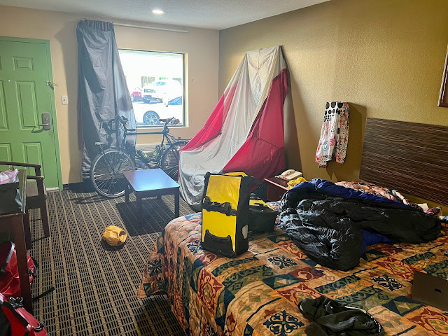
Southern Tier Part 2 - Day #3 April 15, 2022 Franklinton, LA to Jackson, LA - 91 Miles Start 8:36 AM Finish 4:38 PM Ride Time 8:01 Ascent 3414 Feet Descent 3335 Feet Tour Total 225 Miles Details at: https://ridewithgps.com/trips/87229583 I slept incredibly well last night in room 121 at the Liberty Inn in Franklinton. Last evening after Don Juan’s, I returned to my room to catch up on some work from back home. The Wi-Fi was lightning fast and made me realize how slow my service was at home. Bill from Crazy Guy had correctly identified yesterday’s reptile sightings. In addition, I was juggling classes that I was teaching, and trying to find a pet sitter for this summer. I called Perry’s bike hostel to confirm my arrival and Perry encouraged me to take State Highway 10 the entire way. She promised a wide shoulder and road signs that urged motorists to yield to cyclists. She also mentioned that an eastbound had stayed with her last night, and that I we might cross paths. Long story ...

Comments
Post a Comment